


la Sarna /Roche Rousse

okfred26
User
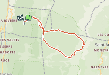

Length
17.7 km

Max alt
1946 m

Uphill gradient
905 m
Km-Effort
30 km

Min alt
1300 m

Downhill gradient
905 m
Boucle
Yes
Creation date :
2021-07-29 07:14:22.81
Updated on :
2022-10-14 09:42:59.245
7h39
Difficulty : Very difficult

FREE GPS app for hiking
 SityTrail
IGN / Geographical institutes
SityTrail Plus
The world is yours!
About
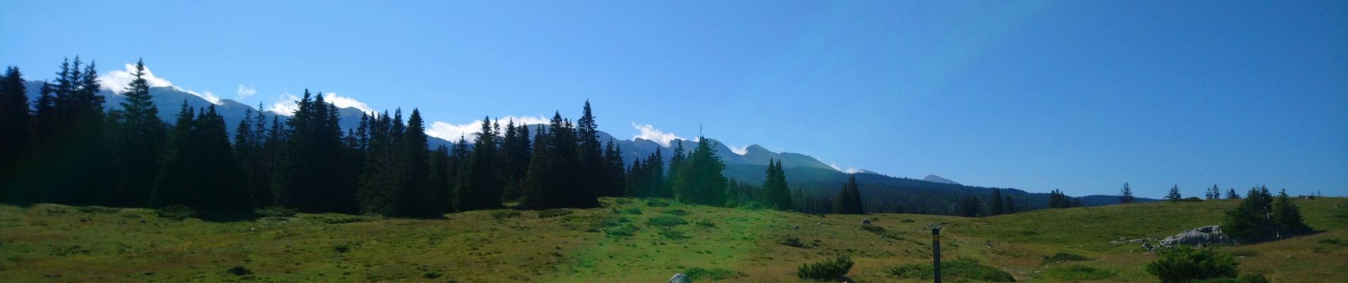
Trail Walking of 17.7 km to be discovered at Auvergne-Rhône-Alpes, Drôme, La Chapelle-en-Vercors. This trail is proposed by okfred26.
Photos


Positioning
Country:
France
Region :
Auvergne-Rhône-Alpes
Department/Province :
Drôme
Municipality :
La Chapelle-en-Vercors
Location:
Unknown
Start:(Dec)
Start:(UTM)
693886 ; 4983440 (31T) N.
Comments